Showing posts with label Salt Lake City. Show all posts

Tuesday, June 23, 2015

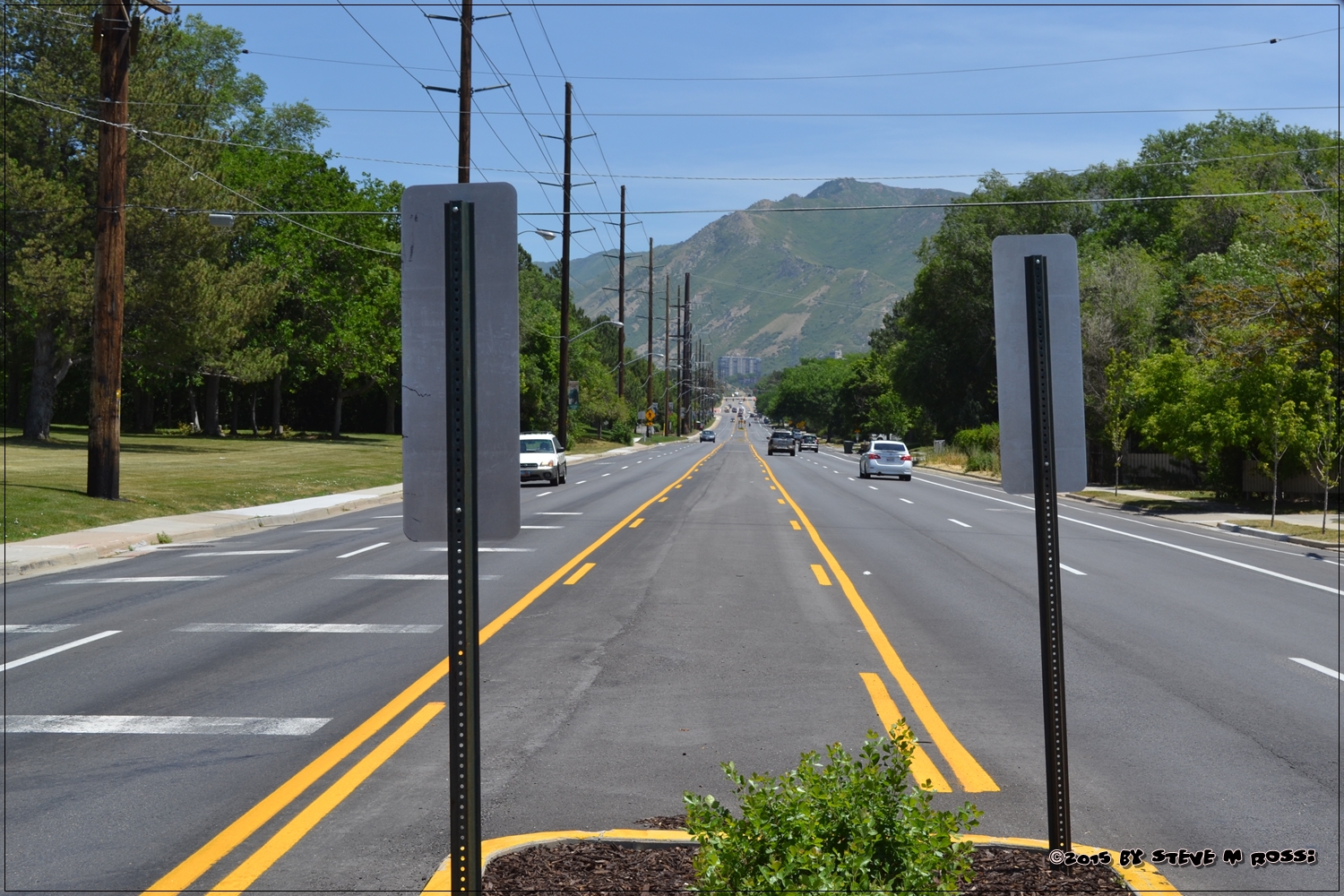
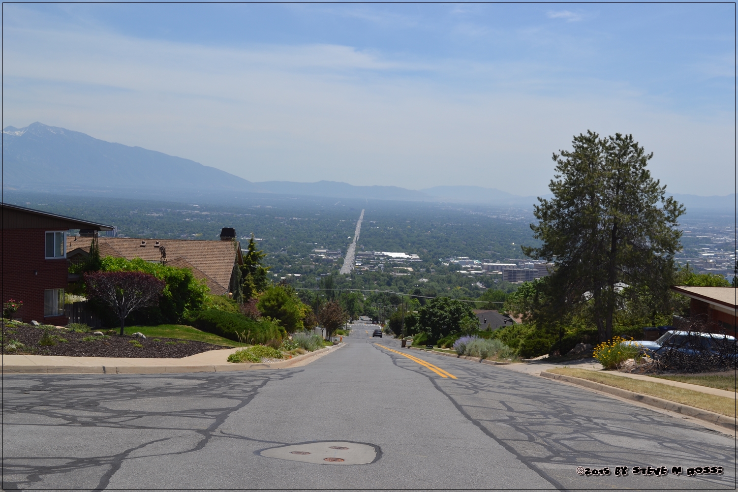
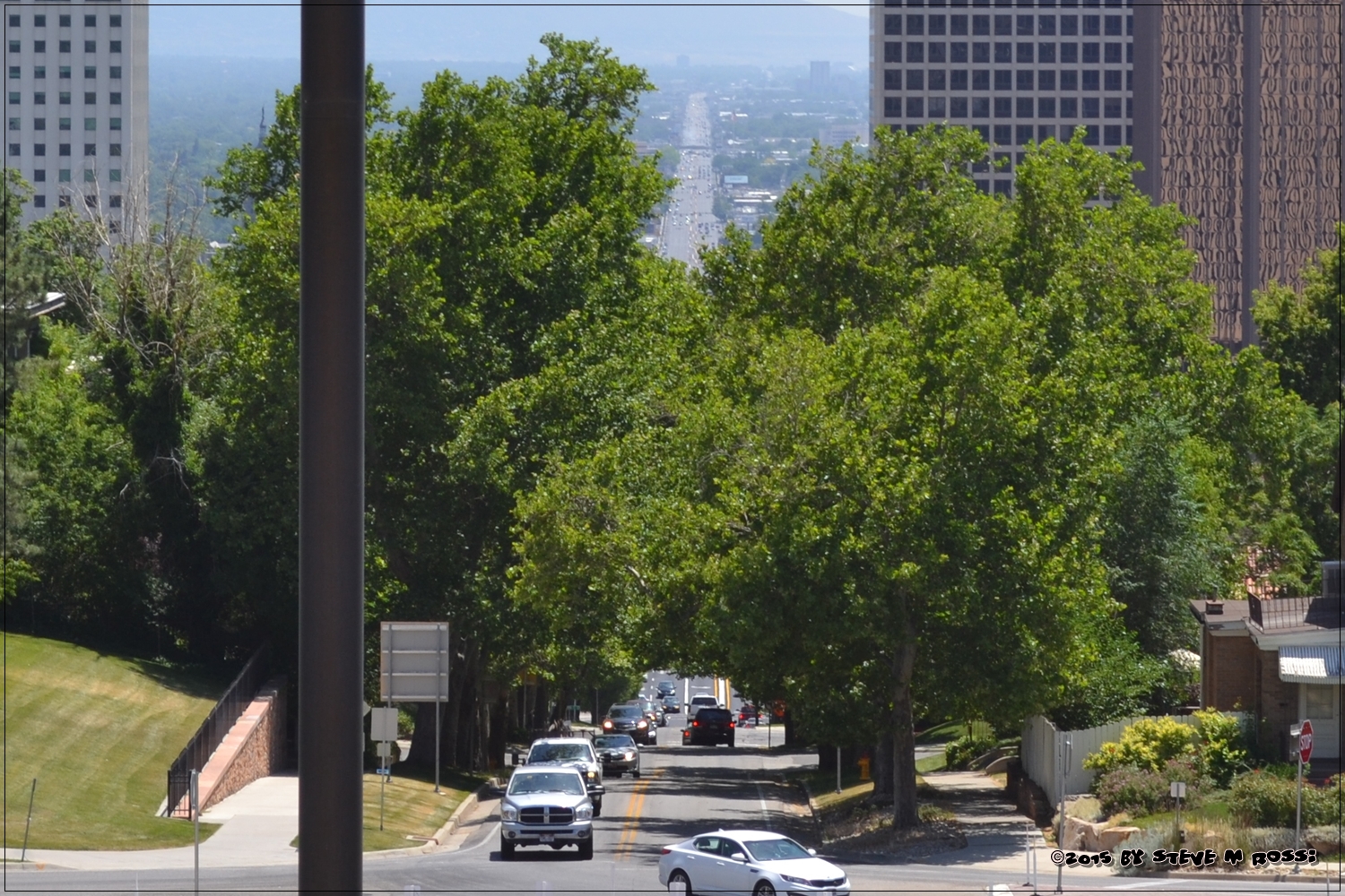
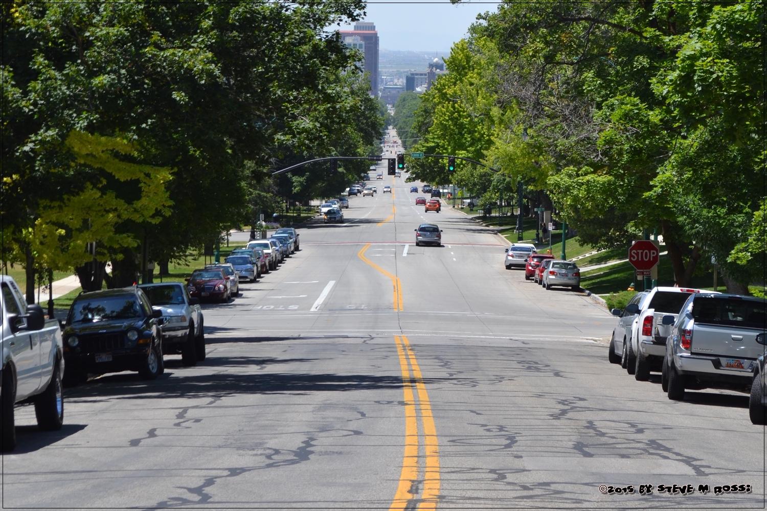
City of Straight Lines.

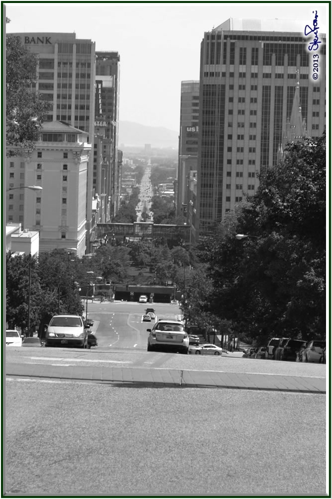
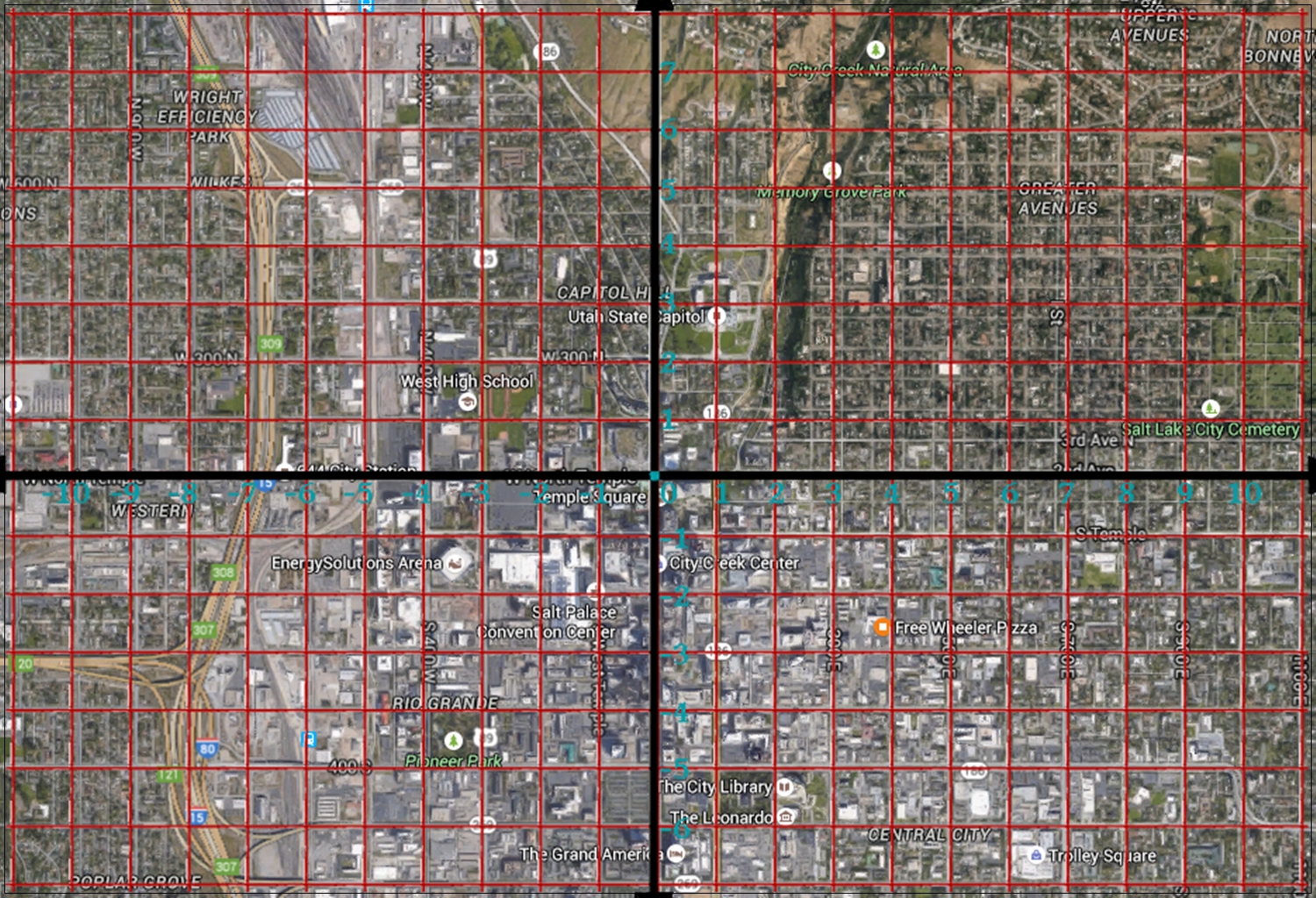
There is no better city to live in for someone who is teaching 7th grade math.  Salt Lake City, and as far as I know all cities and towns in Utah, are set up on a coordinate system.  If you know the system, finding addresses is a breeze, I can tell you exactly how many blocks from Temple Square any address is, and in what direction.  For example, the house I grew up in was at 992 So. Vista View Drive (2950 East).  [On the coordinate plane it would be written (29.5,-9.92)].  That’s almost 10 blocks south and 29½ blocks east from the intersection of South Temple and Main Streets.

In order to keep to this concept of the coordinate plane, the city is made up of parallel and perpendicular straight streets, going either directly north-south or east-west.

Not all streets are perfectly straight, or directly n-s or e-w.   Most of them are either in newer developments, or caused by natural formations:  waterways, gullies and the mountains.

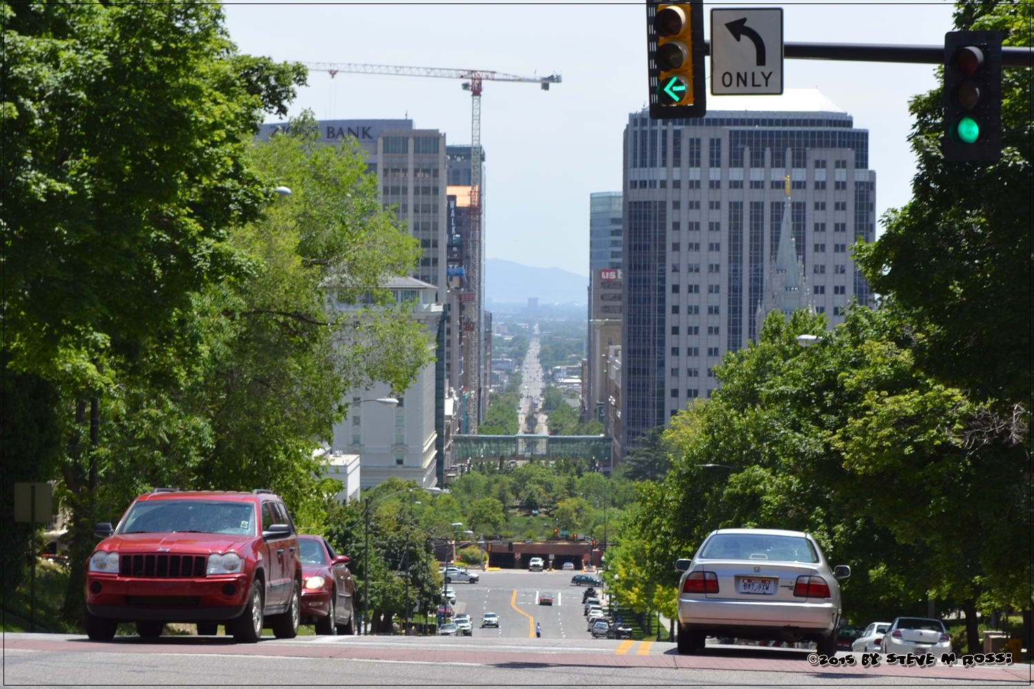
South Temple Street, below, is the city’s x-axis.

Main Street, below, is the city’s y-axis.

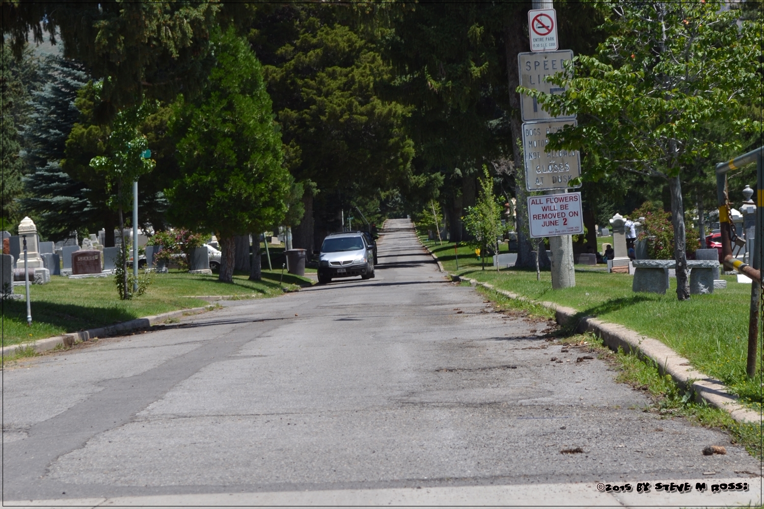
And even the city cemetery follows the same grid system.

I managed a pizza delivery restaurant for years before becoming a teacher, and this system made finding homes a breeze.

To see more straight line pictures, check out Thematic Photographic here:

Sunday, February 23, 2014

Beautiful Day

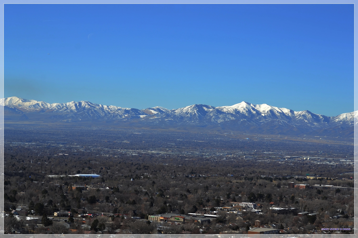
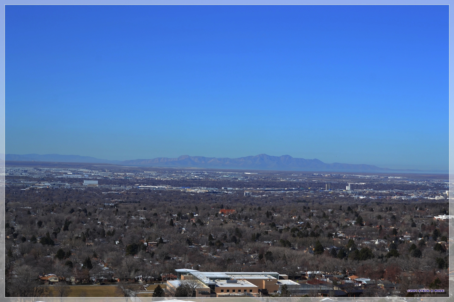
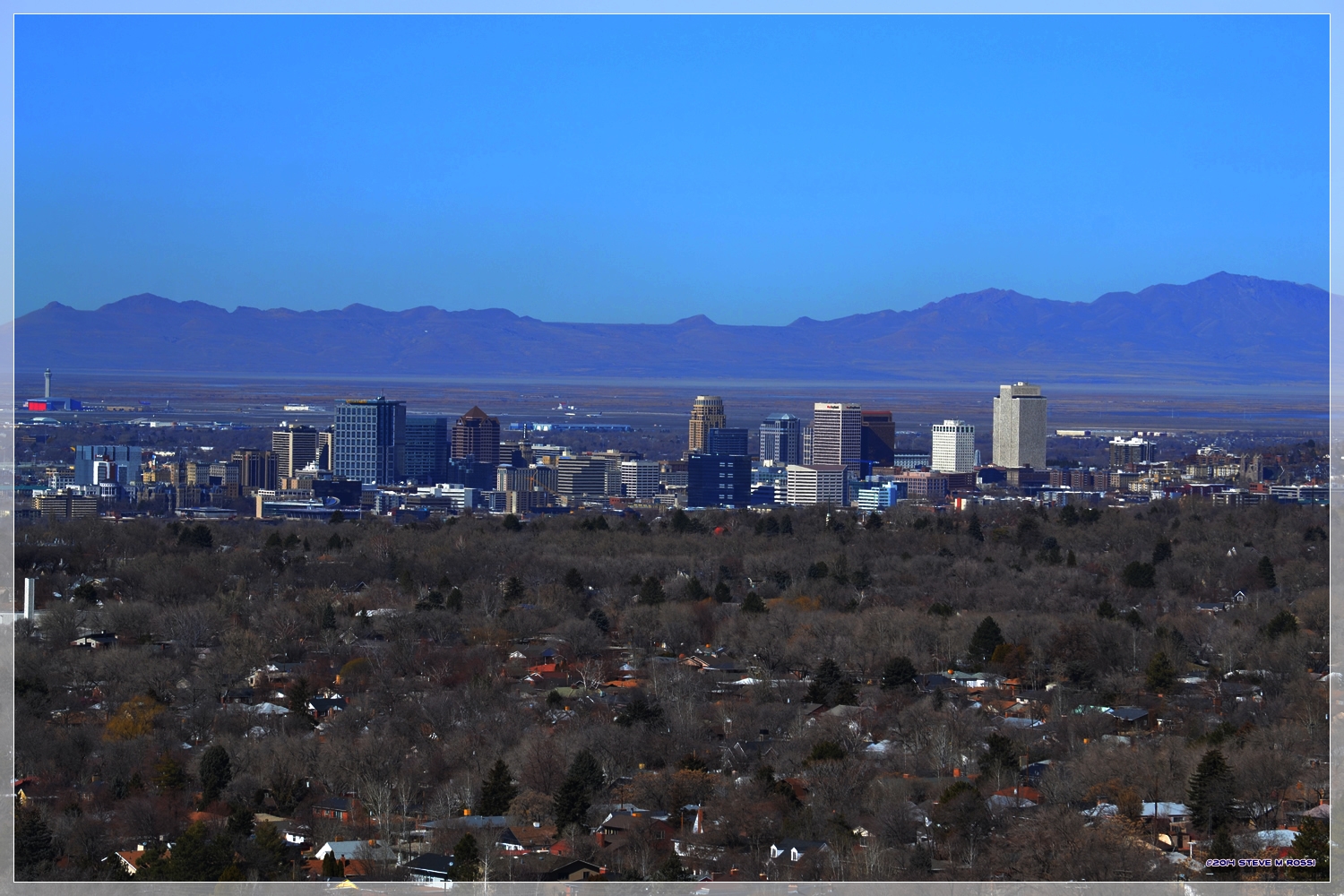
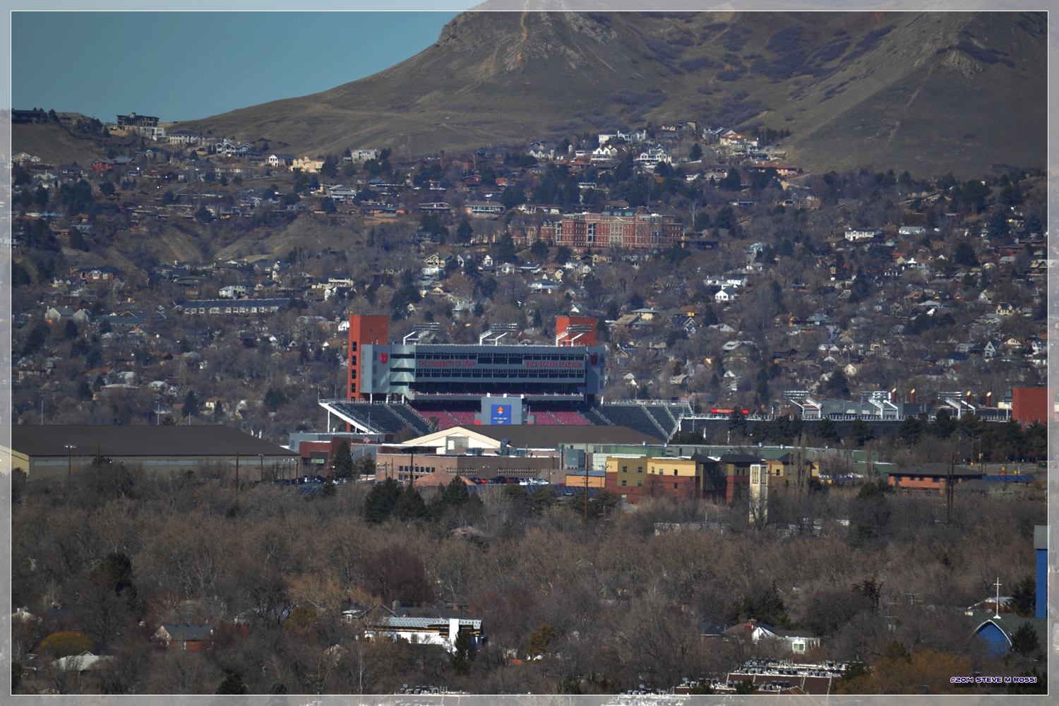
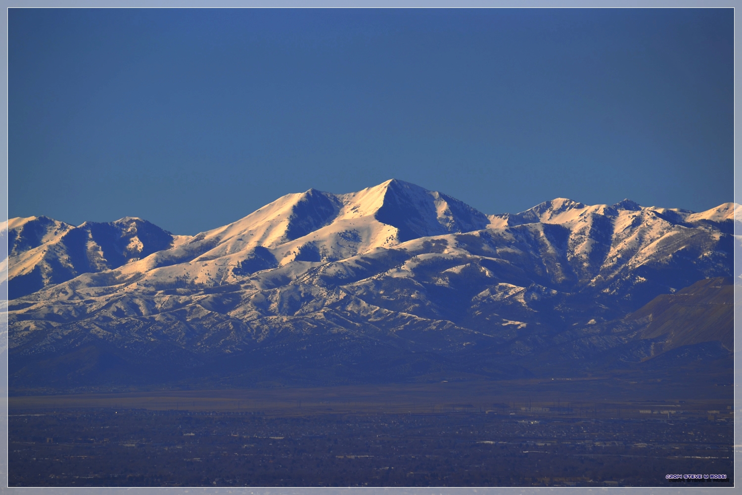
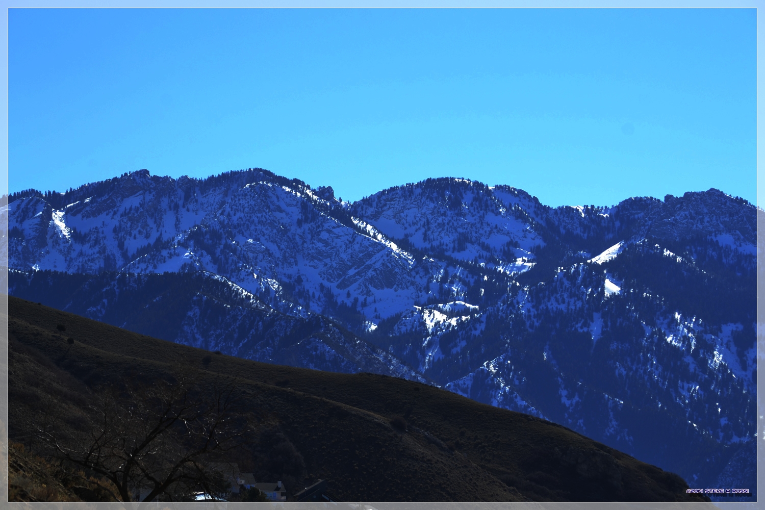
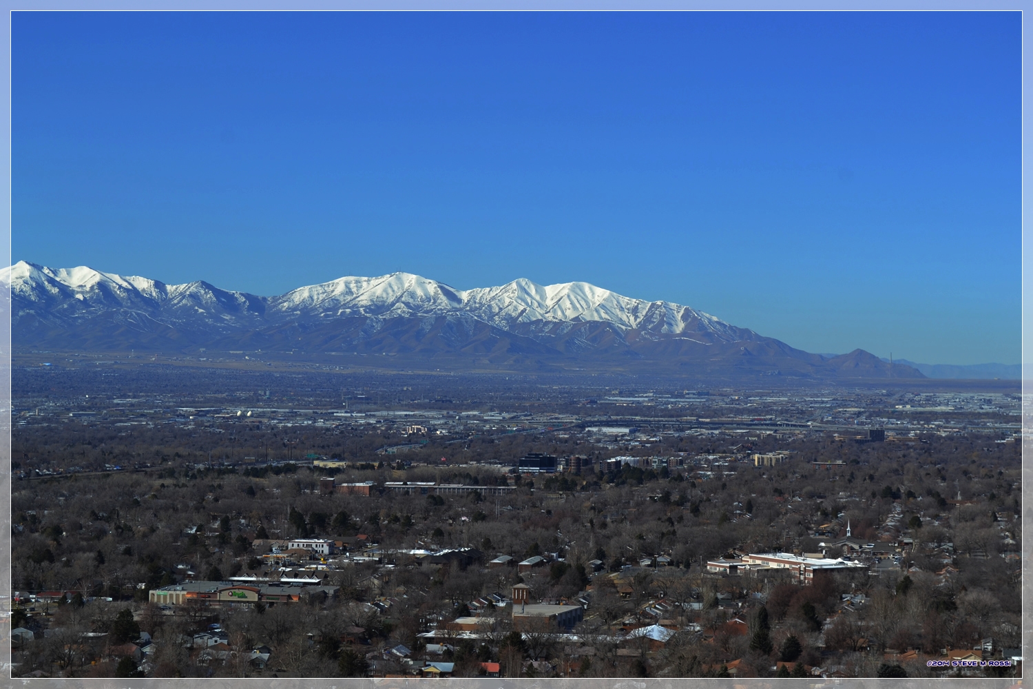
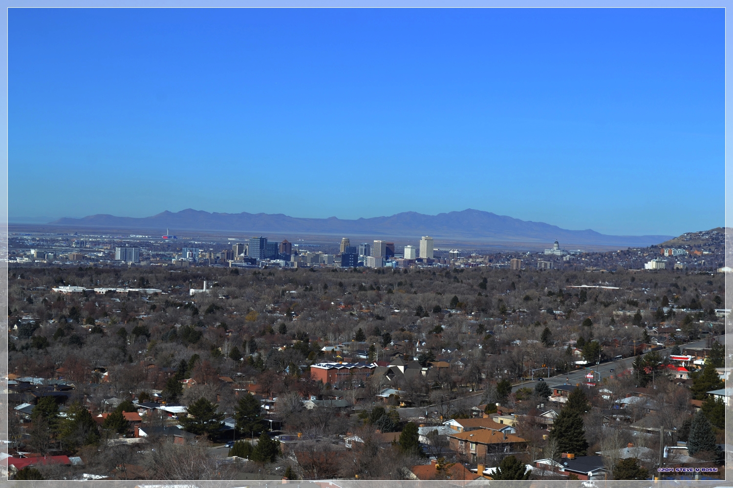
It’s a beautiful day along the Wasatch Front today, just had to share some shots.

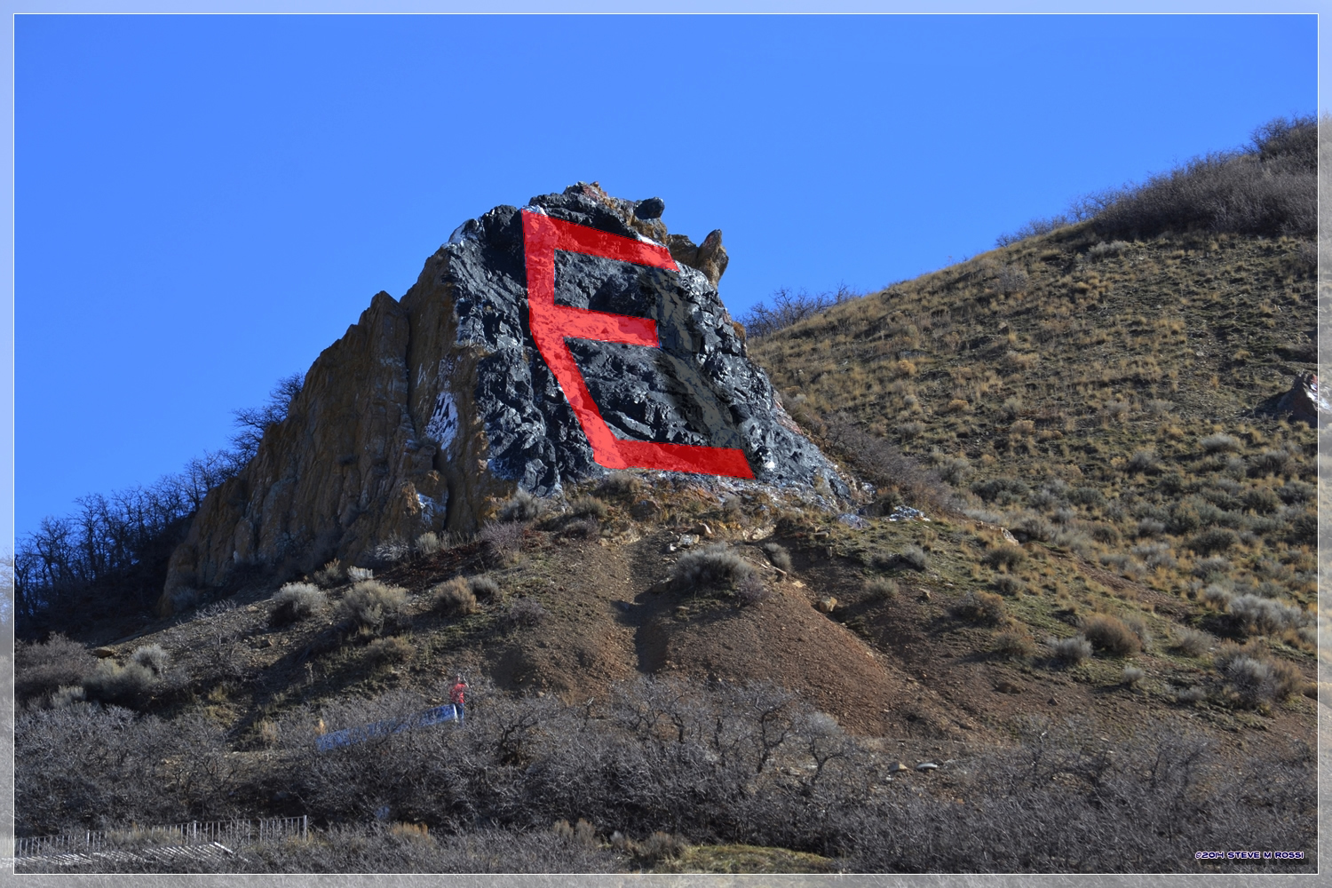
So, I went up by the “H, but it shoulda been an E” rock to get them.

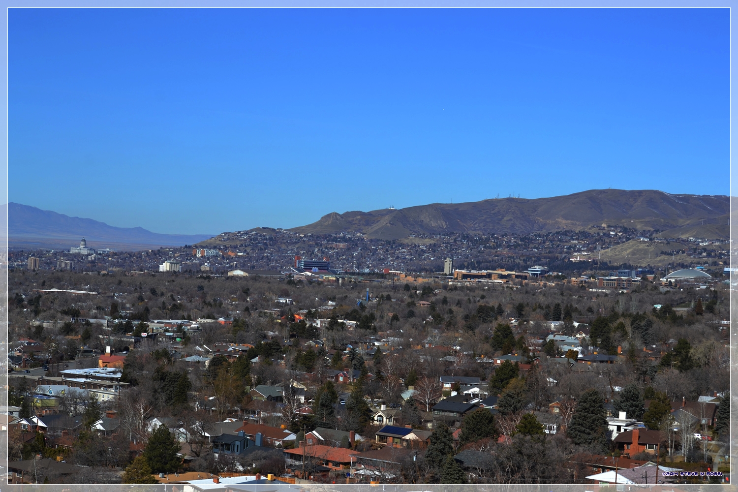
Looking toward the Avenues.

The Oquirrh Mountains on the west side of the Salt Lake Valley

Stansbury Island, in the Great Salt Lake

Downtown Salt Lake City.

Rice-Eccles Stadium at the University of Utah

The Oquirrh Mountains again.

Part of the Wasatch Mountains, on the east side of the valley.

Looking west across the valley.

Looking at downtown Salt Lake across the valley.

Wednesday, July 10, 2013

Now and Then.

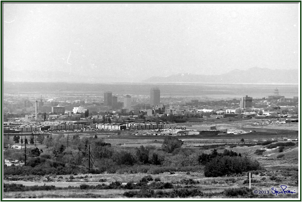
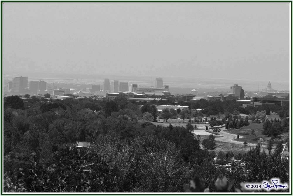
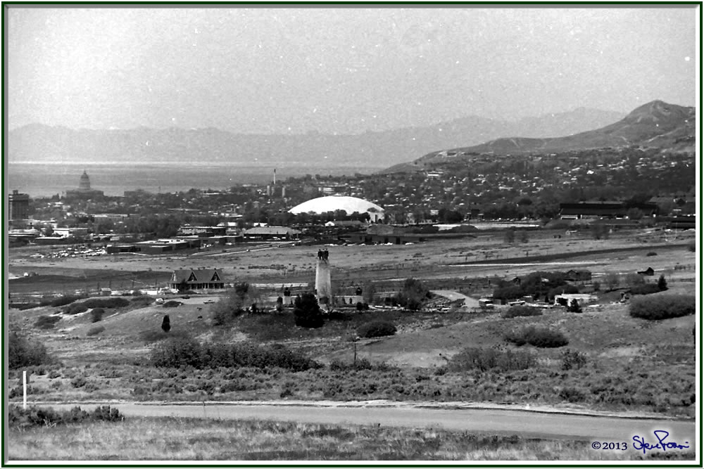
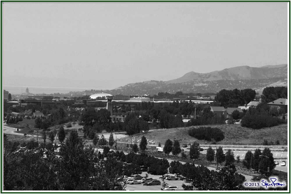
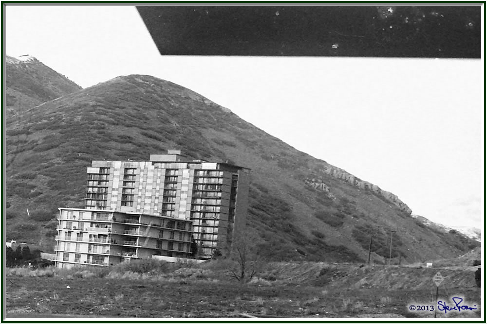
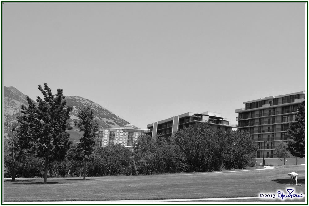
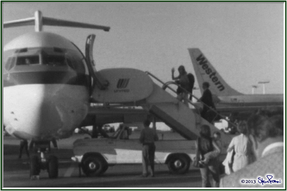
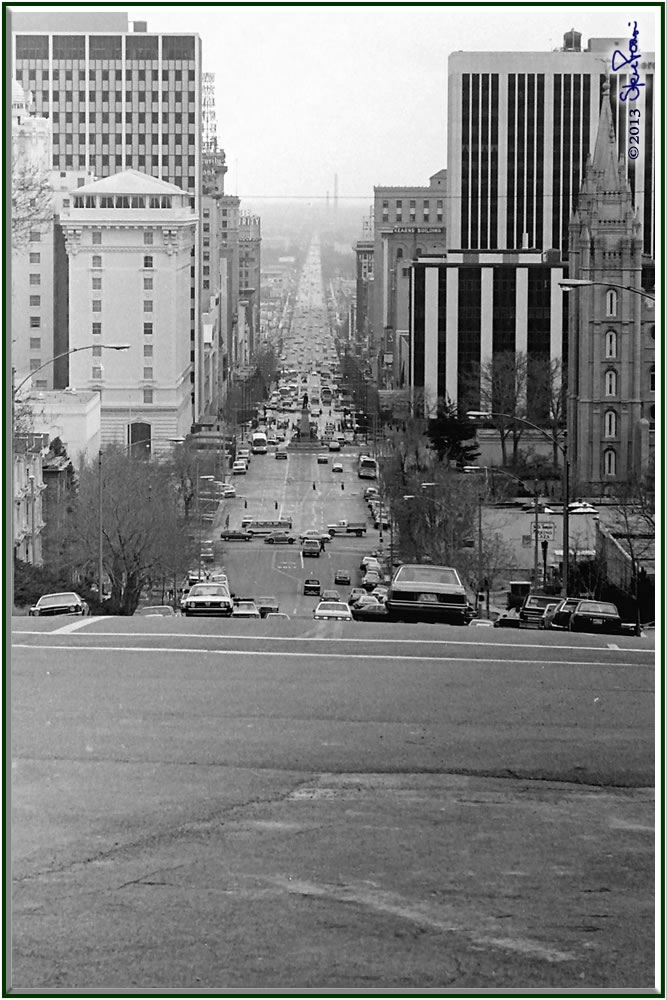
I have a bunch of old pictures from around the city that I’ve been planning on taking the time to get “Now” pictures to match them.  This week’s Thematic Photographic(“Grown”) finally got me out and about  to do it.  It wasn’t as easy as you might think.  First, I have to remember where they were taken then I have to try to get the same perspective, which can be hard considering how much things can change in 35 years.  But I did my best, hopefully these pictures show how much Salt Lake City has grown since I started taking pictures in the late 70’s.  All the “Before” pictures (the top ones) were taken sometime between 1977 and 1980.

Downtown Salt Lake City

The “This is the Place” Monument with the University of Utah behind.

Condominiums right by the house I spent my teen years in.

The Salt Lake Airport has grown a lot since 1978, you no longer have to walk out onto the tarmac and out to the plane.

Looking south on Main Street. 

Trees in Sugarhouse Park

Not only have the trees grown a lot, but…

…so has the business district around the park.

You can see some more “Now & Then” pictures (including these all over again) here.

Sunday, June 10, 2012

Tonight’s Pictures

It was a beautiful evening, not a single cloud in the sky when I found the vacant lot in the upper avenues where I decided to get some pictures of the city.

Cloudless makes for a beautiful evening, but a wholly unexciting sunset.  But it does allow for some nice lighting on the buildings in the city.  These are the shots I got, the last one is a panorama of the Salt Lake Valley, you’ll have to click on it to really see it.  It’s a big file, so give it some time to load.

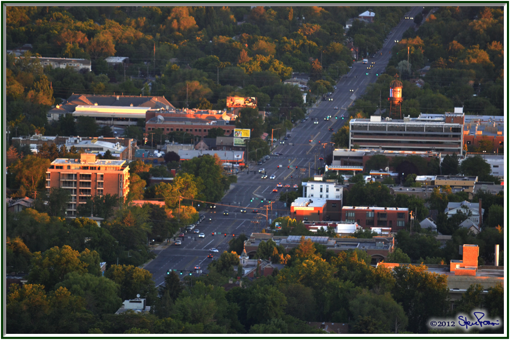
Looking down 700 East, where it runs in front of Trolley Square.

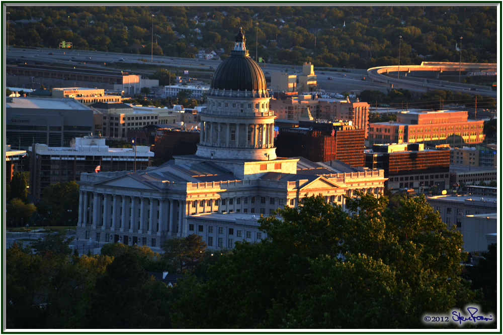
The State Capitol.

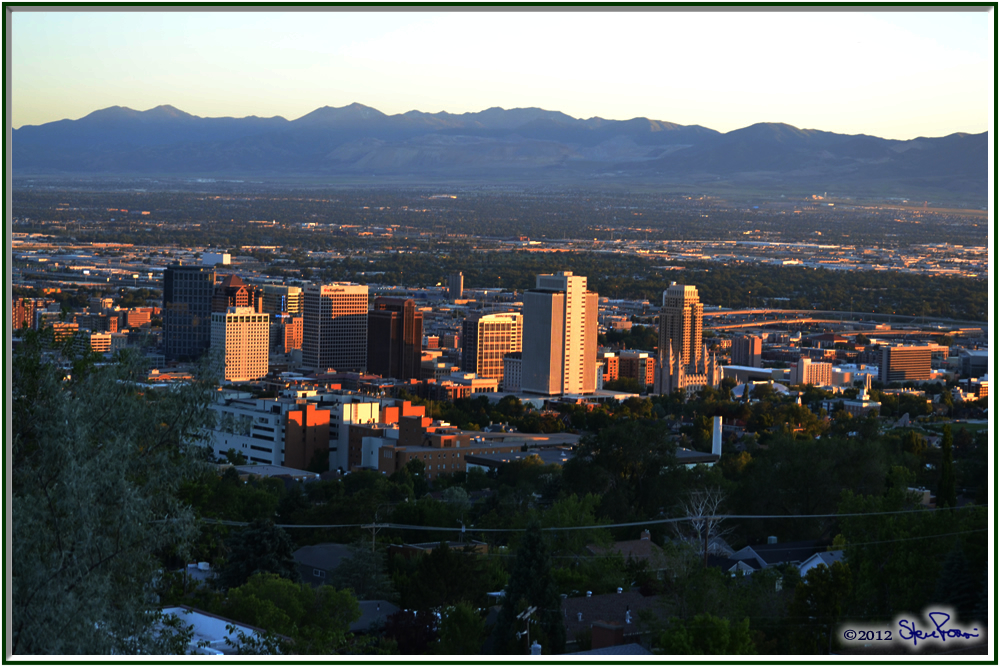
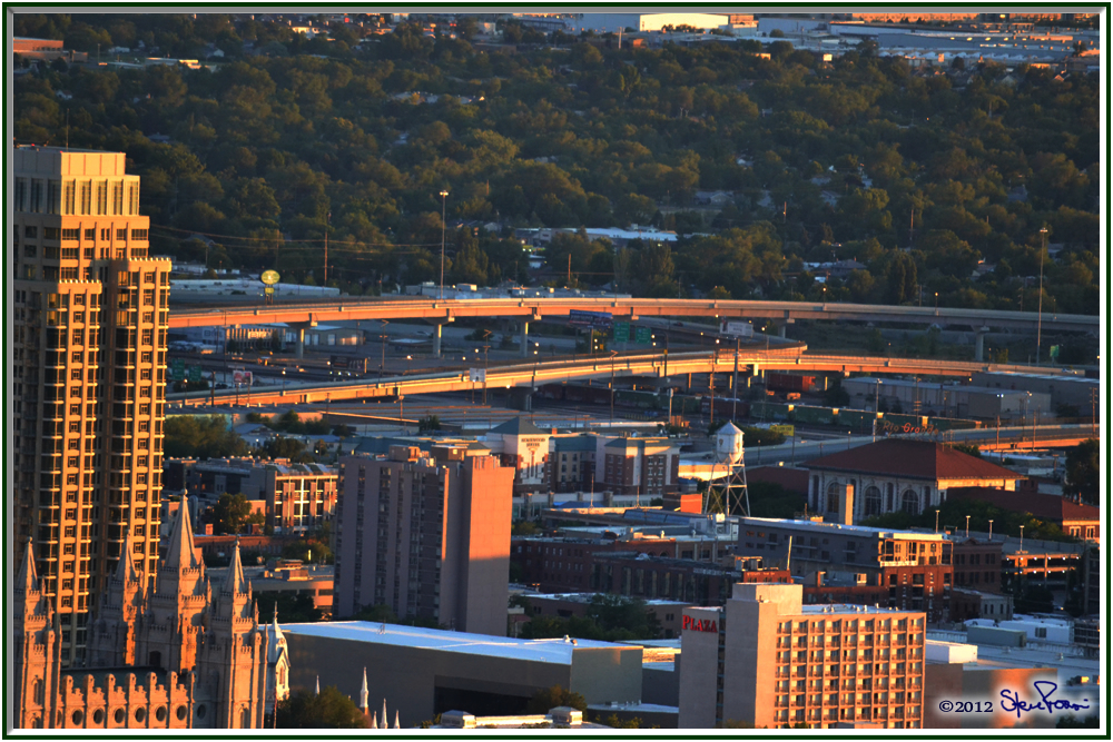
Downtown Salt Lake City.  It’s grown a lot since I moved here in 1974.

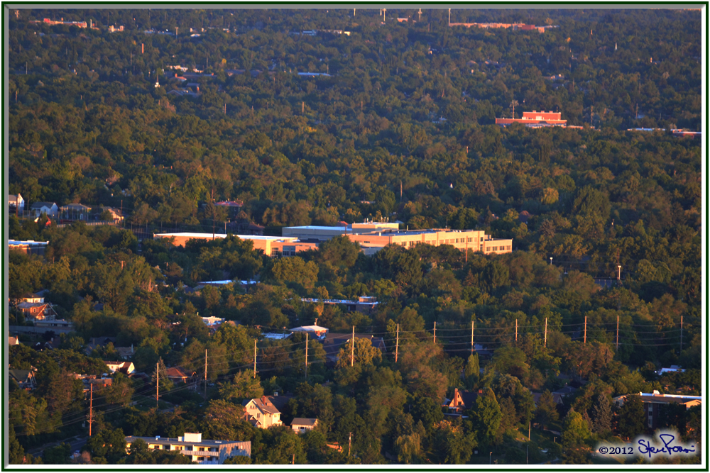
My alma mater, East High School.

The I-15 Freeway interchange to downtown.

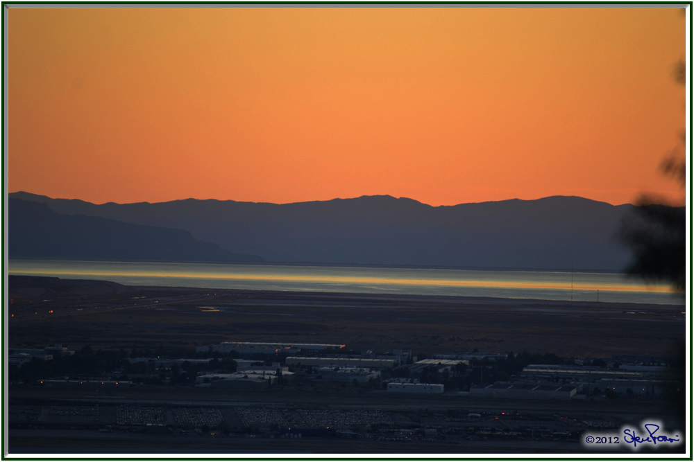
Looking out over part of the Great Salt Lake.

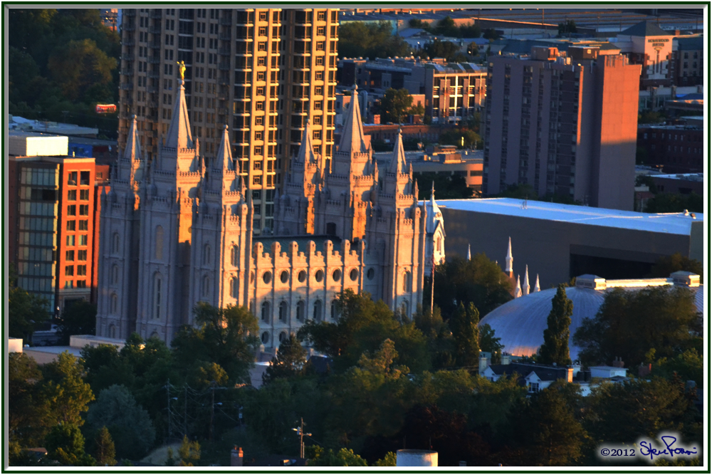
The Salt Lake Temple.  (If you have to ask what Church, you haven’t spent much time in Utah, or heard a lot about it.)

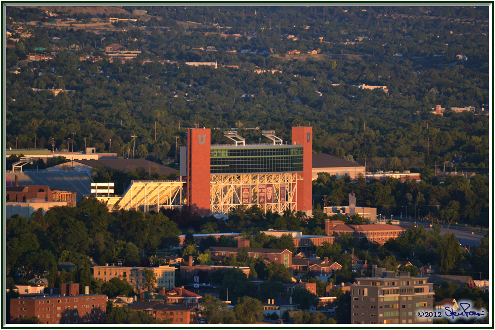
University of Utah Rice Stadium, where the opening and closing ceremonies of the 2002 Winter Olympics were held.

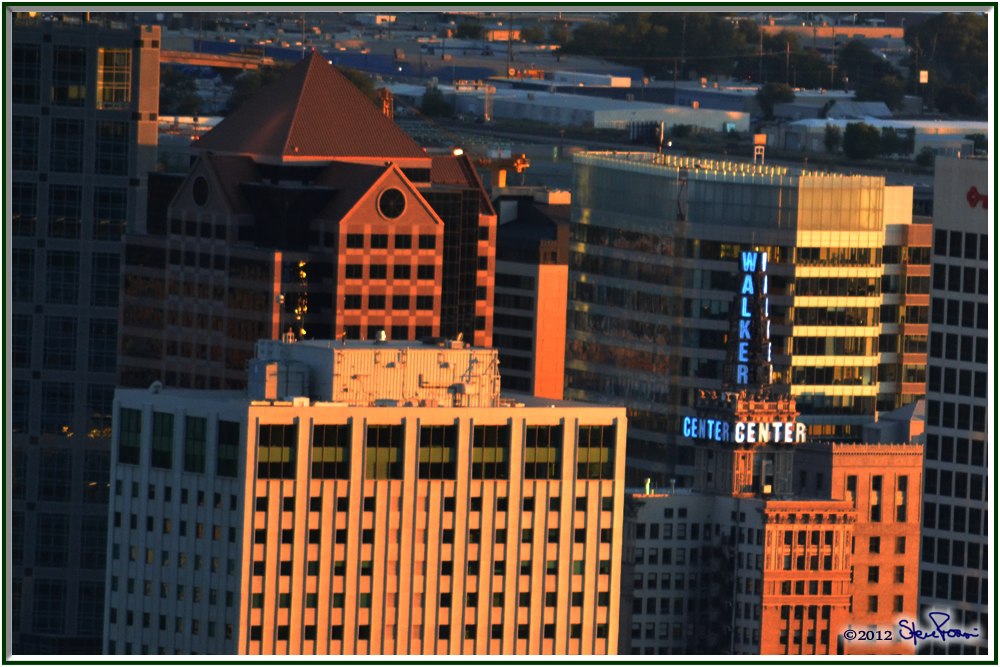
From the 50’s to the early-80’s, the Walker Building sign told what kind of weather to expect.  In 2008 they brought it back.  Solid blue for tonight – clear skies.  On-and-off blue for cloudy skies, solid red for rain and flashing red for snow.

And the panorama.

Sunday, June 28, 2009

Iosepa to near-death experience.

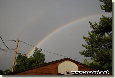
Ok, so one of the nice things about the wet weather is this rainbow over my garage.
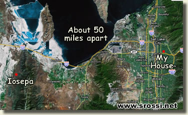
I decided to get out of the house today, 3 days of going nowhere other than the Home Depot gets a little old.  So, I gassed up the BattleCruiser and headed out west.  First thought was Stansbury Island.  Been there, done that, wanted something different.  So drove past it, all the way to Delle (one gas station and closed motel).  Nothing there to see so I headed back towards SLC and when I came upon the Dugway* exit decided to see what was up that road.  The first town on the sign was Iosepa, so I decided that was where I'd go and then head on back.
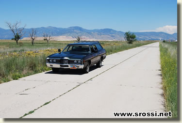
There I am on the old I-80 headed out towards the Great Salt Lake.  It runs parallel to the new I-80, but is a hell of a lot more fun to drive in these big old cars.  Makes me feel like I'm in an episode of "Route 66"
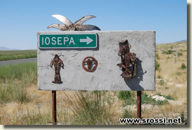
The back side of the Iosepa sign.  Very, very Native American, which begs to ask......
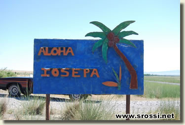
Why "Aloha"?  Whatever, Iosepa was was even smaller than Delle.  Clump of trees, house and a barn.
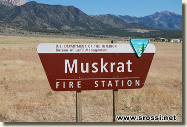
The picture says it all.  that's the fire station on the right hand side.
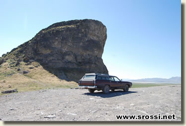
Ok, so I did get a little dirt-roadin' in on this trip.  Went to what is called "Lone Rock", because it's, well, a lone rock out in the middle of the valley. 
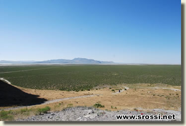
Utah, famous for a whole lot of nuttin'.  This is what surrounds Lone Rock.
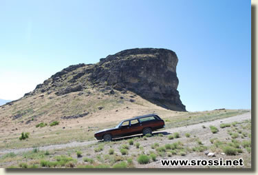
BattleCruiser on the hill in front of Lone Rock.  It looks a lot steeper when you're in the driver seat trying to get the thing down the hill.
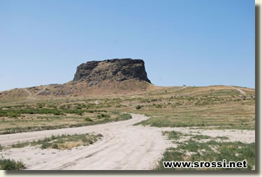
Lone Rock, all alone.
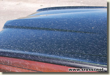
And, of course, there were mud puddles left over from the recent rains, and I had to have a little bit of fun with them.  Car got a bit dirty, but it's not like it's the first time I've run a '72 Country Squire through huge mud puddles, right Gearheads?
And finally - the near death experience. 
Q - You're driving along a section of the freeway that is under construction.  You get to an exit that is closed, without any previous warning.  You:
.......... a) continue on your way to the next exit.
.......... b) ram the barriers and exit anyways, or
......... c) come to a complete stop in the middle of the freeway while you figure out what to do.
A - if you are a taxi cab in Salt Lake City, you choose "c".  Which means the car behind you has to side swipe the barriers to keep from being slammed into from the back end by a huge '72 Ford wagon, and said wagon, as the driver's (me) bladder is letting go**, swerves half way into the middle lane, praying no one is there, to avoid slamming either of the previously mentioned vehicles into next week.  Thank God, no one was there and an accident (vehicular, that is) was avoided. 
post signature
*as in the Dugway proving grounds, where they test bombs and the latest bombers.  Not as exciting as Area 51, but a laugh nonetheless.
** of course the wagon is the only LTD I have with cloth seats.  It couldn't have been the convertible, which has naugahyde seats - they're impervious to everything, even baby vomit.

Reblog this post [with Zemanta]