
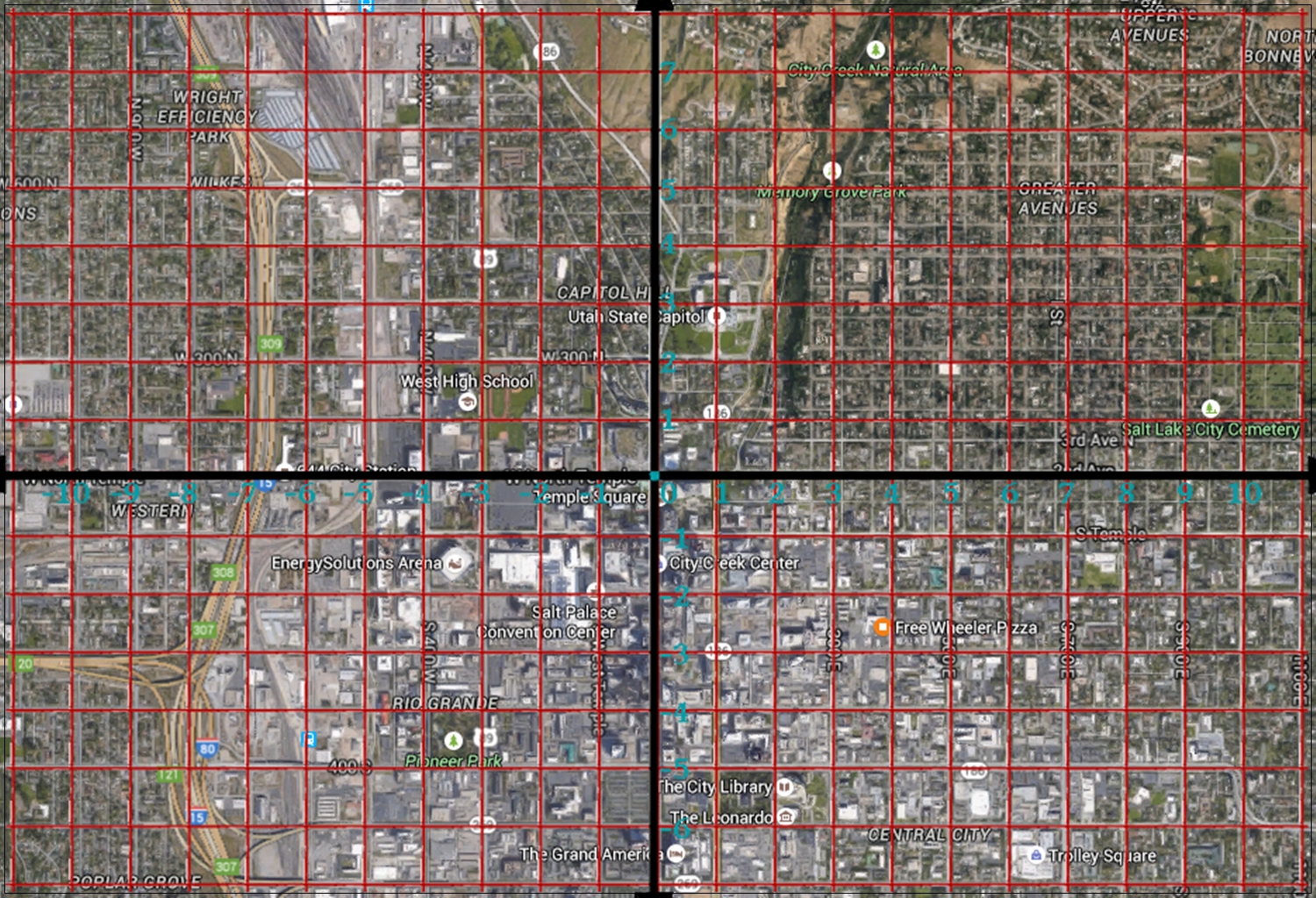
There is no better city to live in for someone who is teaching 7th grade math. Salt Lake City, and as far as I know all cities and towns in Utah, are set up on a coordinate system. If you know the system, finding addresses is a breeze, I can tell you exactly how many blocks from Temple Square any address is, and in what direction. For example, the house I grew up in was at 992 So. Vista View Drive (2950 East). [On the coordinate plane it would be written (29.5,-9.92)]. That’s almost 10 blocks south and 29½ blocks east from the intersection of South Temple and Main Streets.
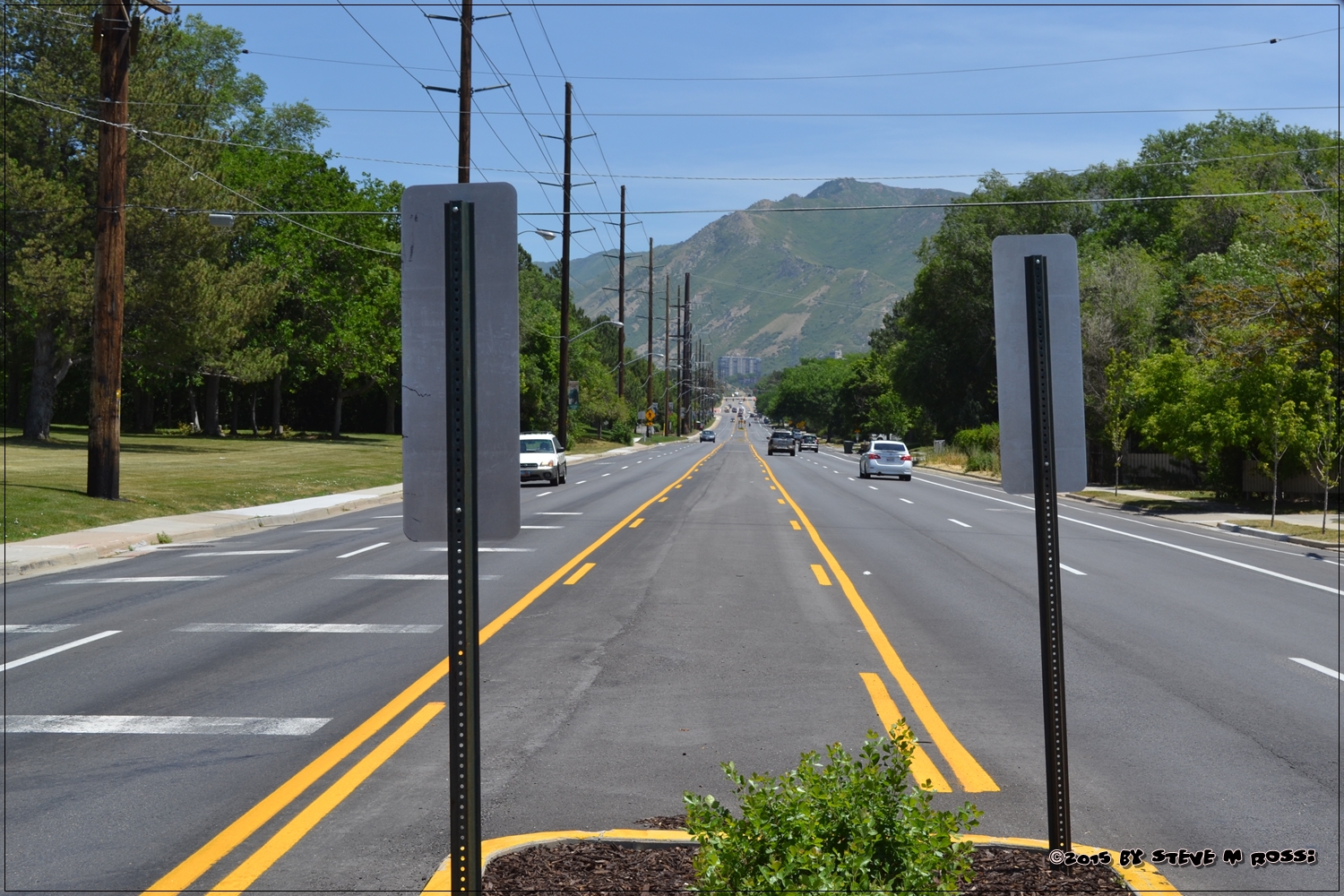
In order to keep to this concept of the coordinate plane, the city is made up of parallel and perpendicular straight streets, going either directly north-south or east-west.
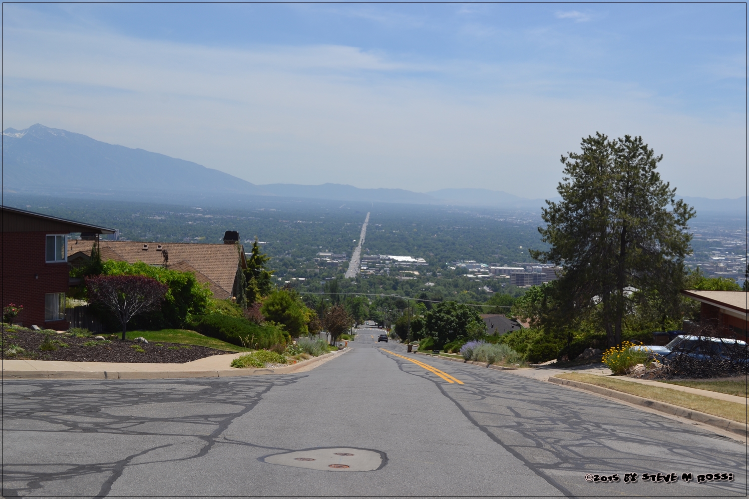
Not all streets are perfectly straight, or directly n-s or e-w. Most of them are either in newer developments, or caused by natural formations: waterways, gullies and the mountains.
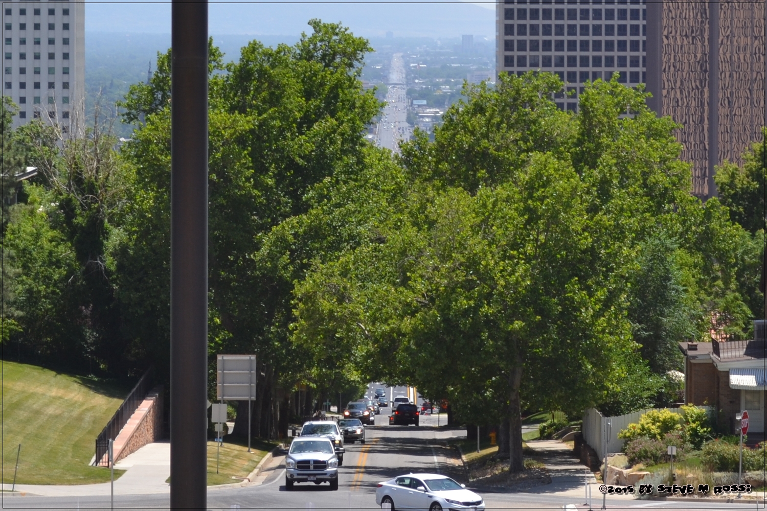
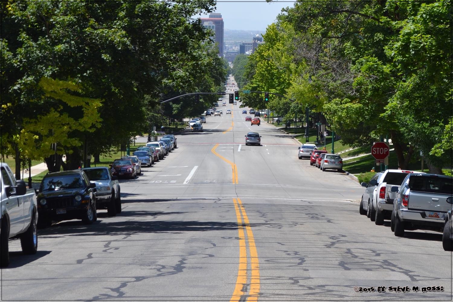
South Temple Street, below, is the city’s x-axis.
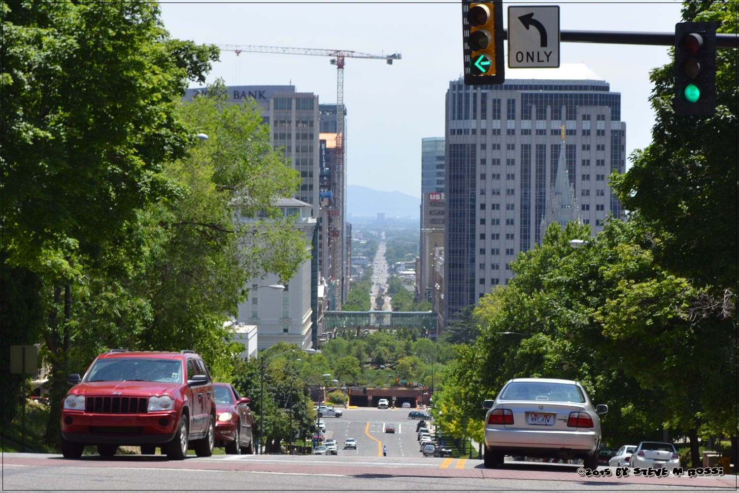
Main Street, below, is the city’s y-axis.
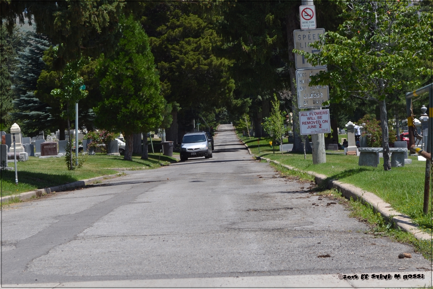
And even the city cemetery follows the same grid system.
I managed a pizza delivery restaurant for years before becoming a teacher, and this system made finding homes a breeze.
To see more straight line pictures, check out Thematic Photographic here:

